

Account Login
Rare Aerial Photographs of 1920s Miami-Dade Relevant to Scientific Research Today
Aspects of Digitization: Digitization on Demand
11/1/22
By: M. M.
Want to see cool detailed aerial photographs of Florida taken 100 years ago, before the coast was peppered with hotels, restaurants and condominiums? When the Everglades was untouched by development?
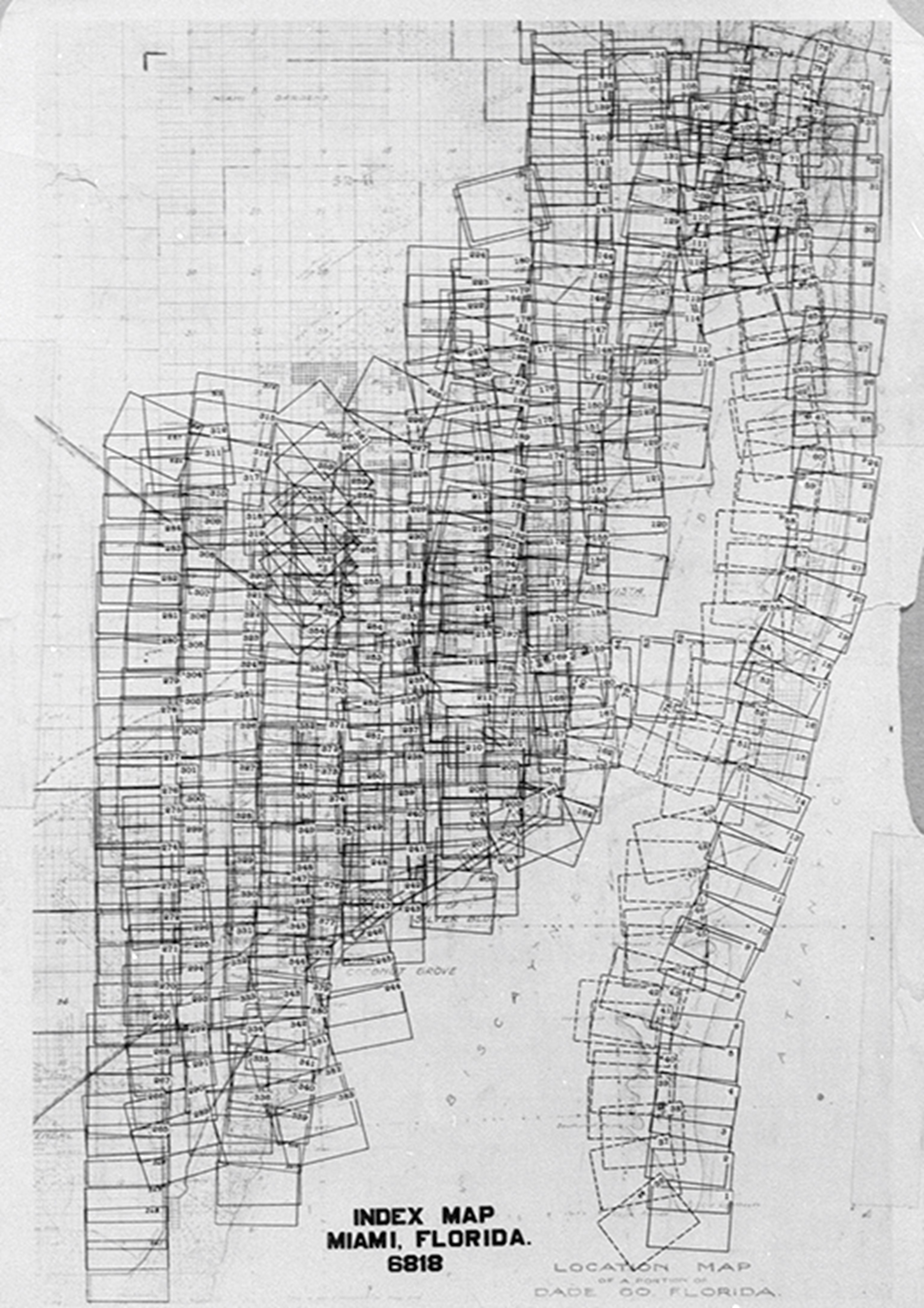
The Library’s Digital Collections digitized more than 300 negatives after an academic request for the information revealed they were housed in the Florida Vault of the Library’s Special Collections and Archives Division. The negatives first surfaced in a 1979 University of Miami thesis by marine geologist Peter Harlem.
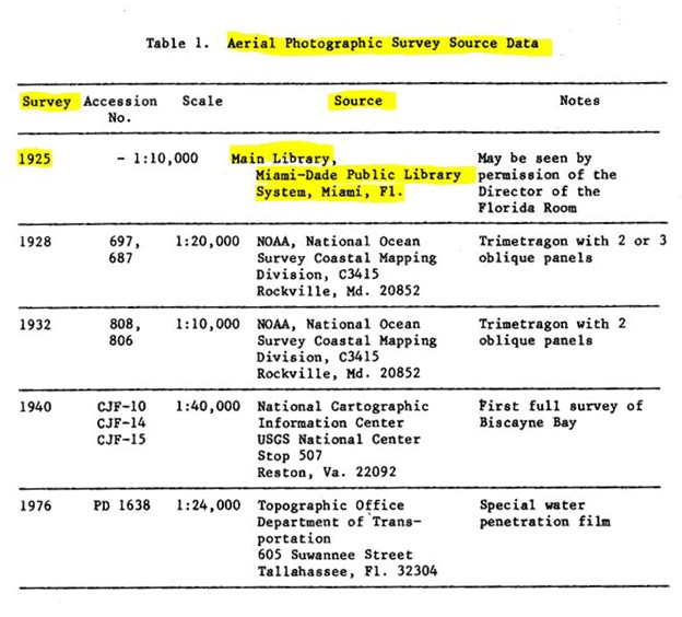
The Digital Collections team worked to digitize the negatives, which were 35-millimeter reproductions of the 1925 originals, at a resolution of 3,000 dots per inch to achieve the best possible image quality.
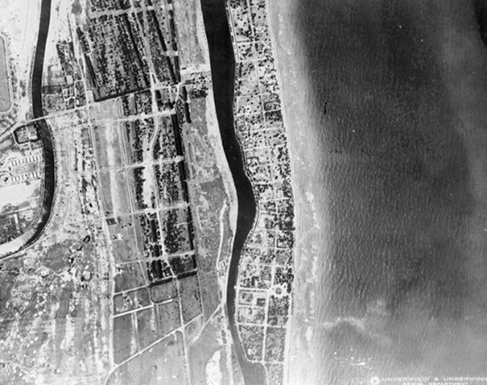
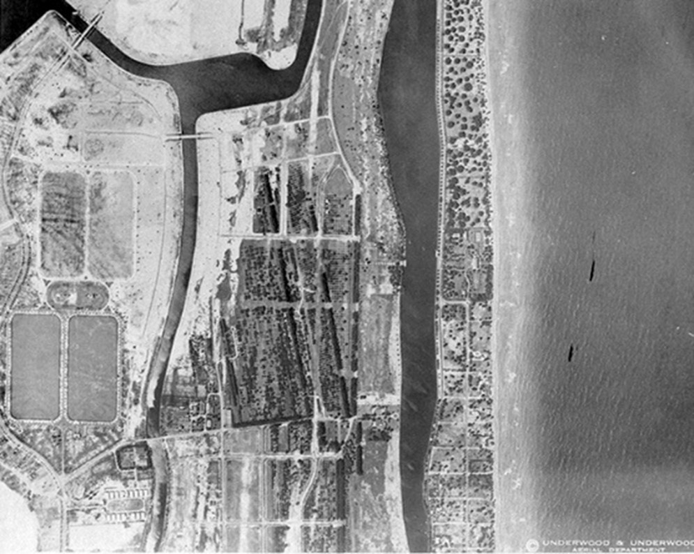
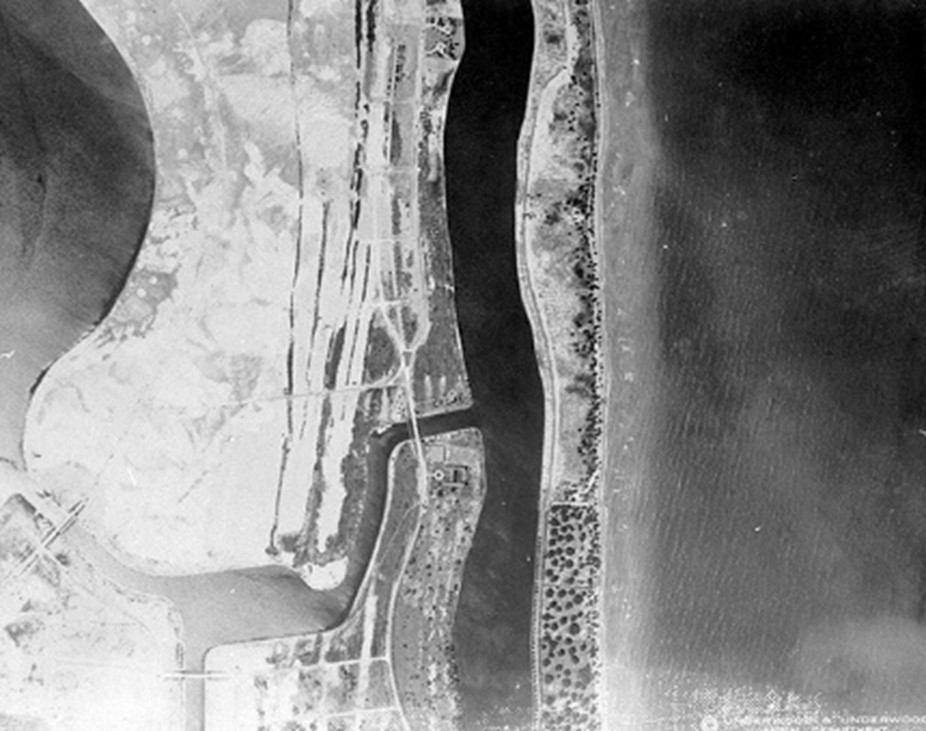
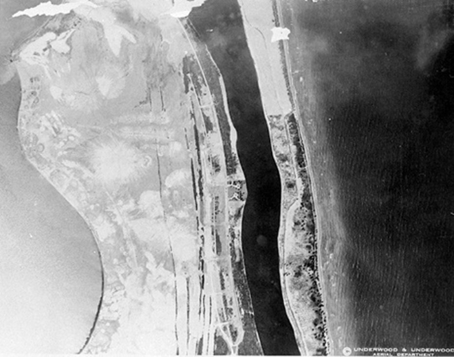
The set has an index showing the location of each image on a map that can be used for georectification, locating it accurately on the map, and comparative analysis before and after Miami-Dade County’s extensive urbanization.
In 2014, years after the completion of his master’s thesis, Peter Harlem, as Geographic Information Systems Center Coordinator at Florida International University, led the Historical Aerial Photographs project, which includes data from the original images in our vault. Harlem, who passed away in 2016, left an extensive legacy in geoscience, and had a major impact on studies of sea level rise in South Florida.
The Aerial Photographic Survey of Dade County Florida, is now part of the Library’s “Florida Maps and Atlases” collection. High-resolution images are available upon request.
For more information, visit the Miami-Dade Public Library System's Digital Collections.